Israel’s northern border is one of those lines on a map that looks simple from a distance and gets extraordinarily complicated the closer you look. It runs roughly 79 kilometers from the Mediterranean coast at Rosh Hanikra to the slopes of Mount Hermon in the east, separating Israel from Lebanon. But how that line got there, and what has happened along it since, is a story that involves British and French diplomats drawing lines on maps they had never visited, a finger-shaped town that nearly got cut off from the rest of the country, and decades of tension that have turned the most beautiful landscape in northern Israel into one of the most contested borders in the Middle East.
How the Line Was Drawn – Israel’s Northern Border
The northern border of Israel did not exist before World War I. The entire region, from Egypt to Turkey, was part of the Ottoman Empire, and borders as we know them were irrelevant. That changed in 1916, when two diplomats, Mark Sykes of Britain and Francois Georges-Picot of France, drew a line across a map of the Middle East that divided the Ottoman territories into spheres of influence. The Sykes-Picot Agreement gave Britain control over what would become the Land of Israel and Iraq, and France control over what would become Syria and Lebanon.
The border between the British Mandate territory and French Lebanon was finalized in a series of negotiations between 1920 and 1923. The French wanted the border as far south as possible to include the headwaters of the Jordan River in their territory. The British wanted it as far north as possible to protect Jewish settlements in the Galilee. The final line was a compromise that satisfied neither side and created some peculiar geographical realities.
Finger of the Galilee
The most visible result of these negotiations is Metula, the northernmost town in Israel. Metula sits at the tip of a narrow strip of territory that protrudes northward into Lebanon like a finger, surrounded on three sides by Lebanese territory. The town exists in its current location because the British negotiators insisted on including it within the Mandate territory, and the resulting border bulge has made Metula one of the most geographically exposed communities in the country.
During the years when the border was relatively open, Metula was known for its apple orchards and its quiet, almost European atmosphere. Today, it is better known as the home of the Canada Centre, an ice sports complex that seems wildly out of place in the Middle East, and as one of the closest Israeli communities to Hezbollah positions in southern Lebanon.
Good Fence and the Security Zone
For a brief period in the 1970s, the border at Metula became known as the Good Fence, a crossing point where Lebanese civilians could enter Israel for medical treatment and work. The arrangement was born from the Lebanese Civil War, which drove many southern Lebanese to seek help across the border. Israel maintained the crossing as a gesture of goodwill and as a way to build relationships with Lebanese communities, particularly the Maronite Christians and the South Lebanon Army.
In 1985, Israel established a security zone in southern Lebanon, a strip of territory controlled by the Israel Defense Forces and the South Lebanon Army that was meant to prevent attacks on northern Israeli communities. The security zone lasted until 2000, when Israel withdrew unilaterally, pulling its forces back to the international border in a single night. The withdrawal was controversial and remains debated, but it ended 18 years of Israeli military presence in Lebanon.
Hezbollah and the Ongoing Threat
Since Israel’s withdrawal from southern Lebanon in 2000, the border has been dominated by the presence of Hezbollah, the Iranian-backed Shiite militia and political organization that controls much of southern Lebanon. Hezbollah built a massive arsenal of rockets and missiles aimed at Israeli cities and communities, dug tunnels across the border, and positioned fighters in villages just north of the fence.
The 2006 Second Lebanon War was triggered when Hezbollah crossed the border, killed eight Israeli soldiers (three in the initial ambush and five more in a failed rescue attempt), and kidnapped two others. The 34-day war that followed saw over 4,000 rockets fired at northern Israel, 121 Israeli soldiers and 44 civilians killed, and extensive destruction on both sides. The war ended with UN Security Council Resolution 1701 and the deployment of an expanded UNIFIL peacekeeping force, but Hezbollah rearmed rapidly in the years that followed.
As of this writing, Israel is actively engaged in military operations along the northern border to counter Hezbollah’s threat. The communities of northern Israel, from Metula to Akko, have once again experienced evacuations, rocket fire, and the reality of living on a front line. The northern border, for all its beauty, remains one of the most volatile boundaries in the Middle East.
Border Today
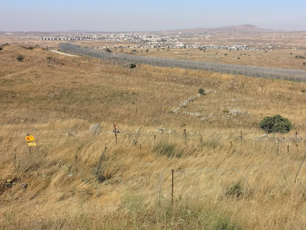
The Israel-Lebanon border today is one of the most heavily monitored boundaries in the world. UNIFIL, the United Nations peacekeeping force, patrols the Lebanese side, while the IDF maintains constant surveillance from the Israeli side. The border is marked by a fence, observation posts, and a cleared strip of land that runs its entire length.
Despite the tension, the landscape along the border is stunning. The western section runs through the green hills of the western Galilee, past the white cliffs of Rosh Hanikra. The central section crosses the mountainous terrain of the upper Galilee. And the eastern section climbs to the slopes of Mount Hermon, where the border meets the cease-fire line with Syria.
For visitors, the border region offers some of the most beautiful and historically rich territory in Israel. The communities along the border, from Metula to Kibbutz Hanita, are living testimony to the resilience of people who have chosen to build their lives on the edge.
Visit with Hoshen Tours
The northern border region is one of the most fascinating and least understood parts of Israel. Hoshen Tours includes border-area sites in itineraries that combine Rosh Hanikra, Metula, the Hula Valley, and the Golan Heights, giving visitors a complete picture of how geography, history, and politics shaped the line between Israel and its neighbors.
Because some borders are more than lines on a map. They are stories written in stone, steel, and stubbornness.
Nearby destinations worth combining with this stop include Tel Dan, Banias, and Mount Hermon.
Explore Our Tour Collection
Ready to experience Israel in true colors?
Plan Your TourPrivate tours designed around your interests, schedule, and pace.